01
Mining & Exploration
Reconnaissance through drill-ready targeting, with fewer false starts.
Timor-Leste's integrated partner for survey, geophysics, subsurface interpretation, and drilling delivery.




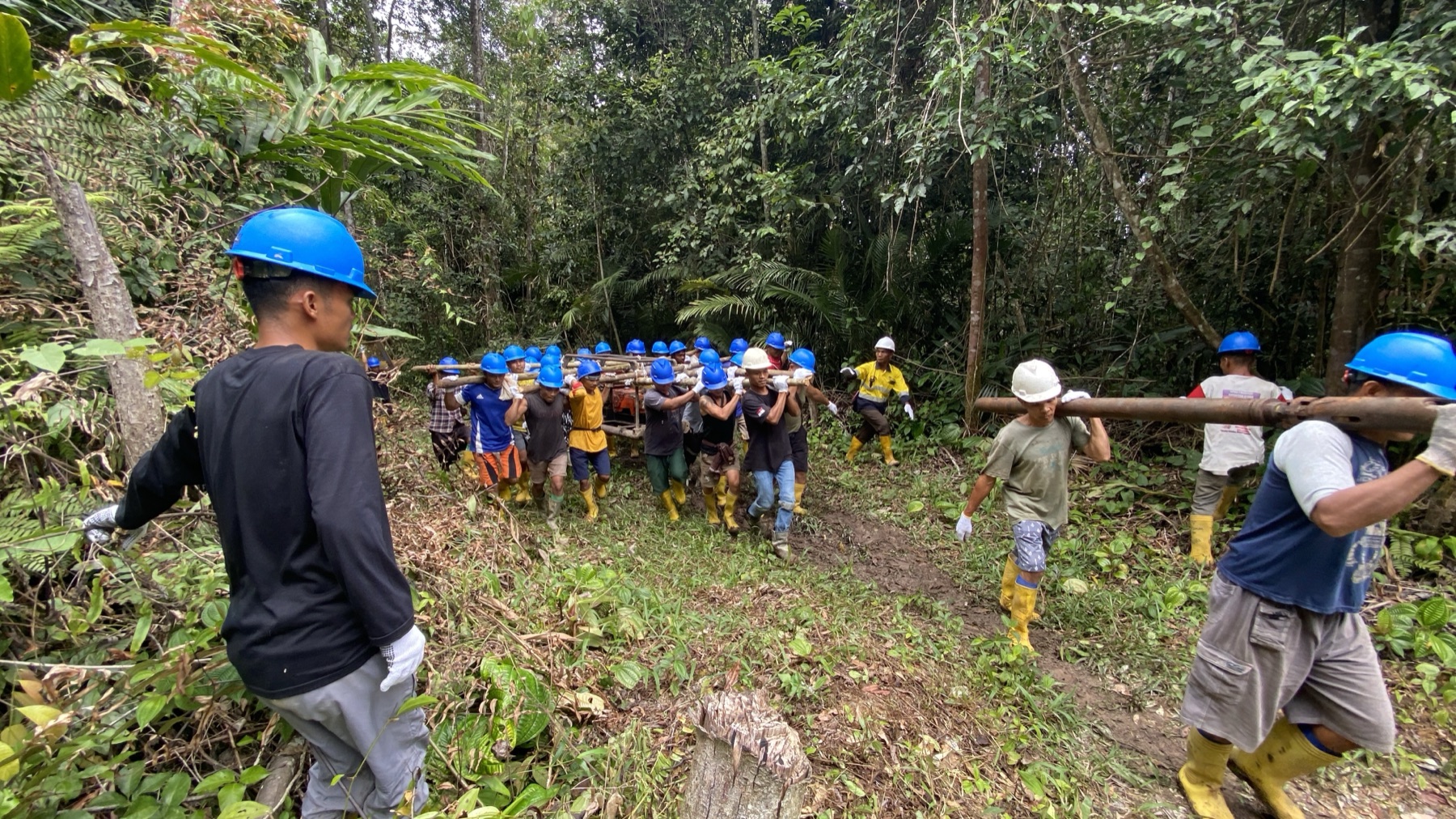
Scope targets, methods, and mobilisation.
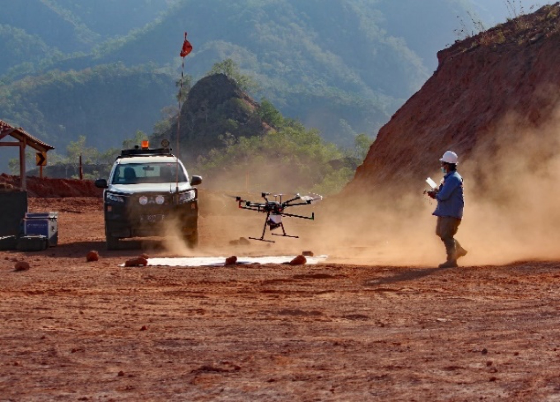
UAV, airborne, and ground acquisition.
QA/QC, inversion, and conditioning.
Integrated geology and subsurface modelling.
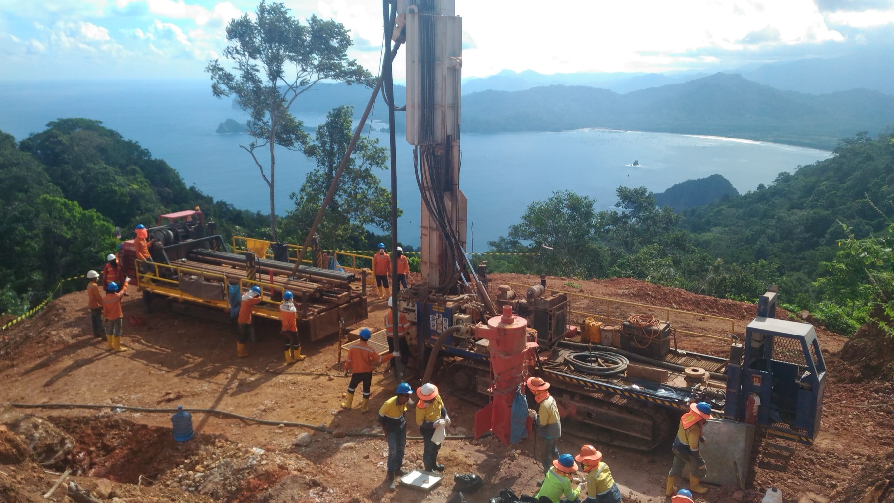
Validated targets into field delivery.
A future simulation video will show how Timor Rai moves a programme from planning and airborne survey through subsurface interpretation, drilling, and field reporting in one coordinated sequence.
Planning constraints and concession context are established.
Airborne and UAV survey grids sweep across the terrain.
Processed subsurface responses begin to resolve below surface.
Interpretation and targeting layers converge around priority zones.
Drilling, onsite review, and reporting complete the sequence.
Reconnaissance through drill-ready targeting, with fewer false starts.
Terrain intelligence, geophysical context, and disciplined field support.
Terrain, ground conditions, and subsurface risk before site decisions.
Survey, target review, or drilling scope in Timor-Leste — we will help structure the next step.